 Isobars are used to show different pressures on a map. This is a map of New Zealand that is updated on this particular website three different times each day.
http://www.grownups.co.nz/uploads/weather/analysis_0000.gif
Isobars are used to show different pressures on a map. This is a map of New Zealand that is updated on this particular website three different times each day.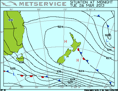
No comments:
Post a Comment